The Sar Pass Trek is a moderate-level expedition in the Kasol region of Himachal Pradesh. Spanning a total distance of 46 km, this journey reaches a maximum altitude of 13,800 ft (approx. 13,900 ft per summary) at the Sar Pass summit
.
Includes/Excludes
Cost Includes
- Transport: Local transport from Barshaini to Kasol in a tempo traveler or similar vehicle.
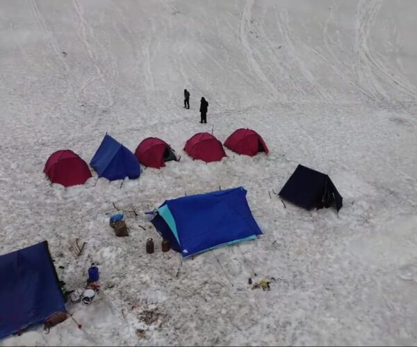
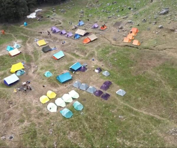
- Accommodation: Stay in tents on a triple or quad-sharing basis during the trek.
- Camping Gear: High-quality tents, sleeping bags, and mats.
- Meals: All vegetarian meals during the trek, including nutritious food, evening snacks, soup, and desserts.
- Trek Equipment: Access to a first-aid kit and oxygen cylinder for emergency use.
- Sanitation: Toilet tents (dry washrooms) provided at campsites.
- Expert Team: Certified and experienced trek leaders, local guides, and support staff (cooks, helpers, and porters).
- Permits & Certification: All necessary permits, entry fees for Sar Pass, and a trek completion certificate.
Cost Excludes
- Personal Meals: Any meals during transit or stays outside of the trekking days.
- Beverages & Snacks: Mineral water, soft drinks, energy bars, and personal snacks.
- Personal Services: Charges for the cloakroom, personal porters, or backpack offloading.
- Emergency & Unforeseen Costs: Expenses caused by roadblocks, weather delays (heavy snow), landslides, strikes, or natural calamities.
- Medical & Insurance: Travel or personal insurance, and any expenses arising from medical issues, evacuations, or acute mountain sickness.
- Additional Accommodation: Costs for food or lodging during unexpected delays.
Trip Info
-
Camps
-
Kasol
-
April May June
-
Kasol
-
Guided
-
Hindi, English
-
13,800 ft
-
Breakfast Lunch Dinner
-
The Star Adventure Base Camp Kasol
-
5-6 Hours
Itinerary
The Adventure Begins
Trek Stats: 8 km | 4–5 Hours
Altitude Gain: 5,577 ft ➔ 7,709 ft
Overview: The journey starts from the center of Kasol,
following the Grahan Nallah on its true left. The trail is gentle,
winding through pine forests and rhododendrons. After a
steep final hour of climbing, you arrive at Grahan, a traditional
village with no mobile network—your first step into the wild.
Entering the Forest
Trek Stats: 9 km | 5–6 Hours
Altitude Gain: 7,709 ft ➔ 11,154 ft
Overview: Wake up to snow-clad views and begin your climb north.
The trail gets steeper and wilder, leading you into dense woods. As
you gain height, you’ll catch your first glimpses of Min Thach,
Nagaru, and the Sar Top to your right. The day ends at the forest
campsite of Min Thach, offering commanding views of the
Chandrakhani stretch.
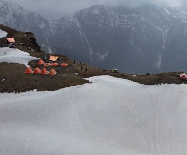
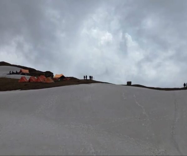
The High Camp
Trek Stats: 6 km | 6–7 Hours
Altitude Gain: 11,154 ft ➔ 12,467 ft
Overview: A shorter distance but a tougher climb. The trail rises
steeply out of the woods from Min Thach, often requiring navigation
through slippery snow sections. Upon reaching Nagaru, the views
open up dramatically—facing north, you’ll see the magnificent
mountains across the Parvati Valley and the town of Manikaran far
below. It gets cold and windy here!
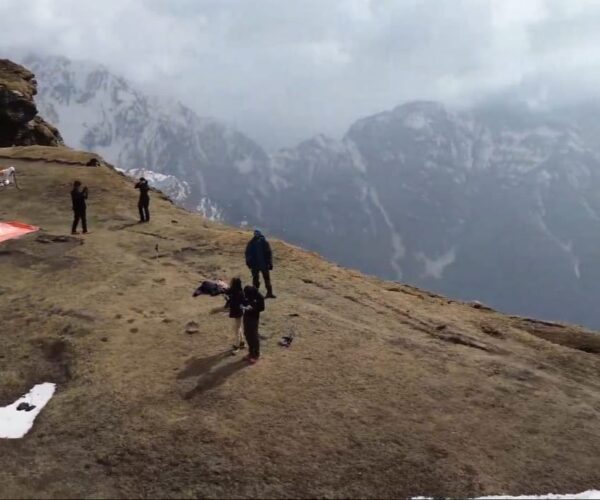
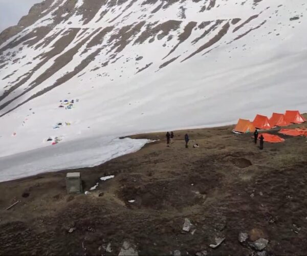
The Sar Pass Crossing
Trek Stats: 14 km | 8–9 Hours
Altitude Gain: 12,467 ft ➔ 13,800 ft (Summit)
Overview: Start early for the summit push. Reach Sar Pass (approx.
13,800 ft) to enjoy stunning views of Tosh Valley. Afterward, enjoy an
exciting slide down the snow slopes to reach the gentler valley
below, finally arriving at the Biskeri Thach campsite.
The Descent & Departure
Trek Stats: 9 km Trek + 15 km Drive | 5–6 Hours
Overview: Enjoy a final morning in the lush grasslands of Biskeri
before descending through dense forests and crossing a stream near
Pulga. You will cross the Parvati River to reach Barshaini, from where
a vehicle will drive you back to the Kasol base camp.